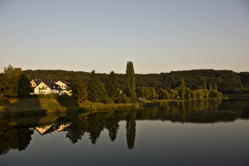
Thursday, November 26, 2009

Thursday September 11th - Strasbourg

I left my bike locked up in Obernai and caught the bus into Strasbourg at dawn.

I'd asked for two nights at the campsite to give me the opportunity to take a day off cycling and spend some time seeing what I considered to be one of the highlights of the trip. And so, hoping to get some nice early morning light in the city, I left the tent when it was still dark and crept away to the bus stop.

We arrived just after dawn - unfortunately my early light plans didn't work out as it turned into an very cloudy morning.

I bought a pain au chocolat and sat down in Place Kleber, watching a family of cute baby sparrows playing in one of the flower beds.
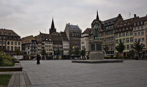
Place Kleber

I was still hungry after that so bought a pretzel. I'd never had a real pretzel before (i.e. bread, not the little snacky cracker things) and this was the beginning of a beautiful new relationship between me and my twisty salt-encrusted doughy little friends.

After a little wandering, I found the best bit - well, one of them anyway, the picturesque Petit France quarter consisting of stunning half timbered buildings overlooking the river.
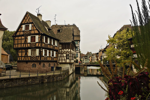
Petit France

I bought some oil for the bike and spent an hour at an internet cafe, investigating train routes home and possible paths across the Black Forest.

After that I located the cathedral, an incredibly ornate building.
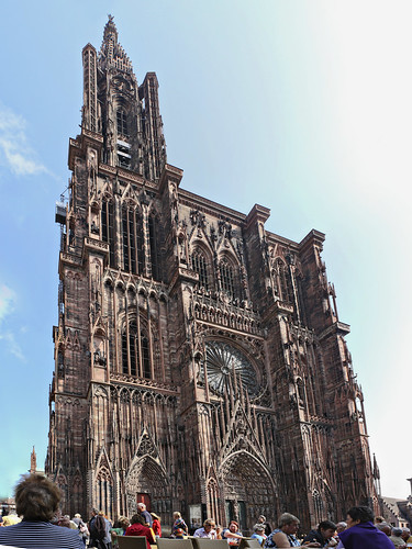
Strasbourg Cathedral

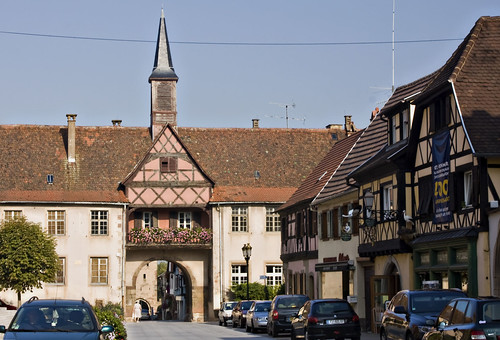
And beside it, the almost impossibly beautiful Maison Kammerzell.
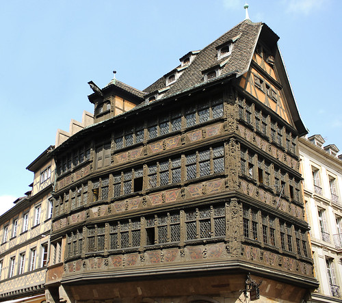
Maison Kammerzell

Strasbourg is a popular cycling city and has plenty of lanes and parking facilities - my feet were sore from walking by the end of the day and I half wished I'd brought my bike into town, but it did make a nice change to have a day out of the saddle.

I picked up some horrendously coloured but very tasty macaroons from one of the many delicious looking patisseries...
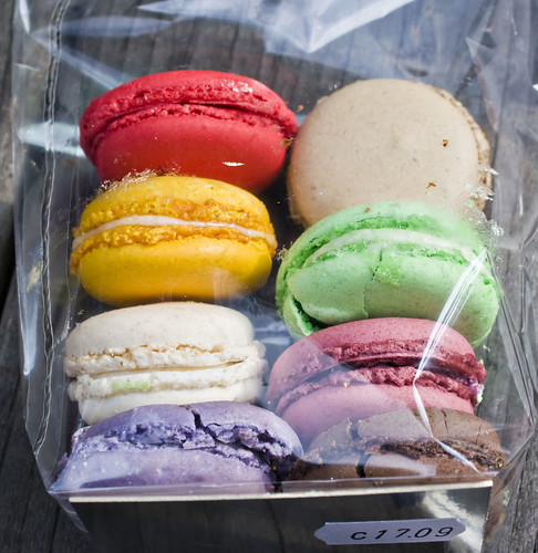
Macaroons

... and then headed back to the campsite.

Back at the tent, I started to pay some attention to my bike. It had started squeaking over the last couple of days so clearly needed an oil... but upon examining the rear sprockets I realised how gunked up it really was. I spent a good couple of hours that evening scraping solid rubbery black gunk off the sprockets, chain and derailleurs and really wishing I'd bothered to clean it before leaving. The other thing I noticed was just how knackered the tyres were. The front was full of holes and the tread on the rear was almost non-existent. The last time I'd changed them was over three years ago, in Germany. I calculated that I'd ridden in eleven countries on those tyres, over unknown thousands of miles. I picked small stones out of the holes and planned to replace them when I got home.

Sunday, November 22, 2009

Wednesday September 10th - Vosges

I started out late from the campsite at Phalsbourg and headed straight for the town to do what I should have done over the last couple of days and buy some decent food from the shops - fruit, cheese, salads and bread. (yeah, more bread. It's hard to get away from in France)

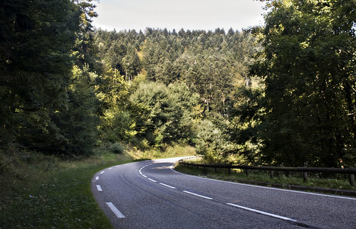
I had been studying the map and come up with a nice wiggly green (i.e. scenic) route along a foresty road through the Vosges mountains, via Dabo.

Vosges

The road was flat at first then started to gently climb, with signs towards the Plan Incline. This is one of those things I didn't really understand at the time but now that I've got back and done a bit of reading, sounds quite interesting and makes me wish I'd stopped off to take a closer look. The Saint-Louis-Arzviller Inclined Plane is a clever lifting mechanism for getting ships up the mountain canal route as a quicker alternative to multiple locks.

After a long hot climb, I reached the town of Dabo. The sun was high in the sky and it was getting a little hot for comfort so I stopped in the shady town square, placing the solar panel in a patch of sun - despite all the sunshine, it still wasn't gathering enough energy to keep my phone going. A group of Canadian cyclists on lovely lightweight racing bikes stopped to say hello - they were staying nearby and enjoying the sunshine on the last day of their holiday.

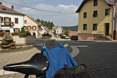
Dabo

Further climbing out of Dabo led me up the Col de Valsberg to La Hoube then over the departement border and onto a lovely long descent down into Alsace. At Romanswiller I picked up a cycle path which ran along a disused railway line and a canal.

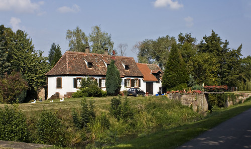
Canalside

I passed several other cyclists and walkers, and the signposting was quite good until I reached Molsheim and it disappeared. Motorways and major roads met just south of Molsheim and I couldn't pick out a good route on the map to get past all that. A local cyclist stopped to offer help and invited me to follow him through a maze of back streets, eventually leading to a bridge over the motorway and back out into the countryside. I thanked him and he left me on tiny lanes among cornfields, the cycle route to Obernai now clearly signposted. I gathered some speed and then, not really looking where I was going, hit a rather steep speed bump at 20mph, jarring my arms quite badly - which hurt, but no real damage.

I lost the cycle route briefly in the pretty town of Rosheim but the tourist office put me back on track.

Rosheim

After that the road surface got very bad at Bischoffsheim but I finally reached Obernai, where the campsite was very well signposted and thankfully selling cold drinks and ice lollies (something that had become more appealing over the last few days than lunchtime hot chocolates). More importantly, a Chinese restaurant was just down the road and I was able to tuck into hot, greasy delicious chicken chow mein for dinner. Yum...

Distance: 45 miles (468 miles so far) • Day 10 Route • Day 10 Photos

Saturday, November 14, 2009

Tuesday September 9th - No lemonade

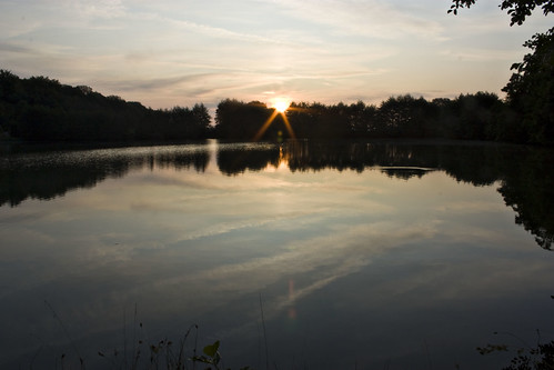
The tent was even wetter than usual when I woke up at Burtoncourt. I walked down to the lake to take some photos of the sunrise and then spent a long time trying to dry out the tent and not making a very good job of it.

IMG_5453.JPG

I'd been really bad at eating properly over the last couple of days - there had been fewer cafes so boulangeries had provided both lunch and dinner, and I was getting a little bit fed up with bread. Today was no better. It was a long day - I set my sights on a distant town with a campsite and went for it, choosing to put in the miles rather than divert into a town and seek out some decent lunch.

IMG_5463.JPG

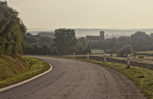
I cycled across misty farmland and through the towns of Boulay Moselle and Boucheporn. At Longeville I bought a baguette and a small quiche, then got on the N-road to St Avold, for want of a better route.

One of the things they don't tell you about cycle touring (and this probably also applies to backpacking and other such forms of travel) is the crap music that gets stuck in your head. I attribute this to two things - firstly, the terrible music they play in cafes and other public places, and secondly the lack of my own source of music to wipe away the bad stuff. After nine days on the road, my head was mostly full of Lily Allen singing "It's not fair, it's really not ok, it's really not ok" over and over and over and it was very, very annoying. I figured I had to get something decent but catchy into my head so started to hum catchy but enjoyable classics such as 99 Red Balloons and The Final Countdown.

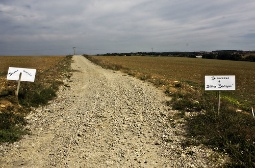
Beyond St Avold stood a handwritten sign pointing to Biding, which was a village I was hoping to pass through. The sign pointed down a slightly stony track, so I set off on another off road jaunt along bumpy ground between fields. I reached Biding after a couple of miles, unconvinced that that had been the road marked on the map but having enjoyed it nonetheless.

IMG_5475.JPG

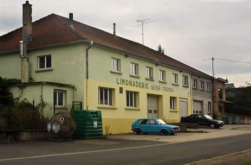
Further down the road, signs pointed me to Munster which boasted of both its church and limonaderie. I'm not really fussed for churches but it had turned into a hot day and I was soon daydreaming about cool lemony drinks. I arrived at Munster hot and thirsty and ready to drink a gallon of the stuff. I found the limonaderie but nowhere to buy the lemonade, and left as thirsty as I'd arrived.

IMG_5487.JPG

I arrived in Phalsbourg late in the day and followed signs through the town to a campsite on the outskirts. I was greeted by friendly English-speaking owners and directed to a mostly empty camping field. Too tired to ride into the town and find proper food, and too lazy even to cook up the emergency spaghetti, I dug into my panniers and had bread and butter for dinner again...

Distance: 62 miles (423 miles so far) • Day 9 Route • Day 9 Photos

Thursday, November 12, 2009

Monday September 8th - Loo roll!

The church bells rang at 4am in Rosport. In continental Europe you get used to bells ringing at 6am or sunrise, but at 4 it was still very dark and I'm not sure what sane person would need or want to hear church bells at that time.

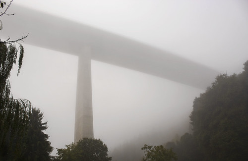
At a slightly more sane hour I set out into another damp and hazy morning, continuing along the river valley. A few miles down the road, a huge structure loomed out of the mist above me - it was the motorway passing high above the valley, supported by enormouse concrete columns. I've never seen a motorway look so beautiful!

IMG_5413.JPG

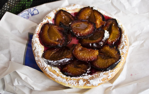
At Wasserbillig, I left the bike path for a while to pick up some goodies in the town. I bought the world's tastiest plum tart and some bread from the bakery, a couple of chicken legs and, triumphantly, some loo roll. I've never been so happy to see toilet paper!

IMG_5426.JPG

After spending quite a lot of time in the town I decided to put in some real miles before lunch. The road was flat so it was easy to set small targets - for example, getting to 25 miles by 11:30am.

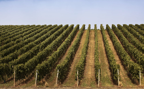
The cycle path disappeared for a while and became a red strip at the side of the road. Vineyards became the dominant scenery, and the sun burned away the mist. The Our river flowed into the Moselle and the valley widened out a little.

IMG_5433.JPG

I reached the 30 mile mark a few miles short of the French border and stopped for a chicken sandwich and to hang my washing on the back of the bike.

I arrived in Schengen, home to all good shared border agreements, shortly after that. There's probably a good reason for the choice of Schengen for that particular treaty - it stands close to the meeting point of three countries. In the space of a couple of minutes I left Luxembourg, crossed the bridge to Germany and turned the corner into France.

IMG_5437.JPG

A small model of the Eiffel tower marked my passage into France. The cycle path vanished in the town of Apach and all of a sudden fast lorries and cars were whooshing past my shoulder. Then I remembered the first rule of cycling on N roads in France - don't! I dug out my trusty Michelin atlas pages to plan a nice D-route.

Things got hilly that afternoon. I huffed and puffed my way up a tiny little road, across open farmland and through tiny villages in which stood numerous closed and abandoned cafes. It also happened to get very hot, which was nice but also meant a lot of sweat and a lot of suncream. I reached Bouzonville, a reasonably sized town which didn't appear to have any accommodation but at least had a boulangerie where I was able to buy food and water, and a tabac whose owner directed me to the nearest campsite.

I double checked outside by Googling the place on my phone. I hope that doesn't seem like a rude or mistrustful thing to do. I've been sent on a few wild goose chases before, usually unintentional I'm sure - and whereas locals are normally an excellent source of general information about what's in the area, I don't expect the average person to keep a working and up to date knowledge of campsite opening dates and finer details. However, it looked as if the campsite existed and was open so I headed off in that direction.

IMG_5444.JPG

An hour later, the sun was getting low in the sky when I reached the campsite, a pretty place beside a lake near the small village of Burtoncourt. It was good to pay single digit prices for camping again!

Distance: 59 miles (361 miles so far) • Day 8 Route • Day 8 Photos

Tuesday, November 03, 2009

Sunday September 7th - Chairlift

The bell on the level crossing at Wilwerwiltz woke me straight away when the trains started nice and early on Sunday morning. The tent felt damp, it was cold and I was cosy in my sleeping bag. I put my hat on for extra warmth and fell asleep again.

Since entering Luxembourg I hadn't been able to get mobile signal, so hadn't been able to contact Dgym the previous night. I knew he'd be worried so I got up at 7 to set off in search of some means of communication.

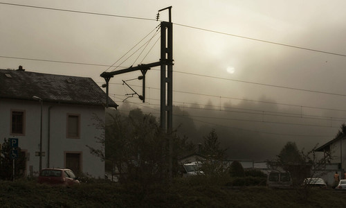
It was misty again - the sun was already starting to poke through, but despite my best drying efforts (soaking up moisture with awesome microfibre towel and then wringing it out) I left with a damp and heavy tent.

Early sun

I started out along a quiet road which at first followed the valley of a small stream but then turned away and climbed steadily.

At the top of the hill I stopped for a wee and used up the last of the loo roll. Luxembourg, I had discovered, is one of those countries (like France) where you are expected to bring your own, and I hadn't packed much. I was also running low on food supplies - I had a single biscuit, some liquorice and half a stinky cheese. There had been very few open shops or cafes so far. I got hungry and ate the final biscuit. But at least it was a lovely sunny day at last. Hooray!

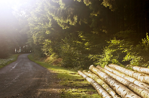
Foresty sunshine

I carried on through small villages, aiming for the Our river. At Stolzembourg I descended into the valley on a road signed as 17% gradient. The Michelin map claimed 4-7% and, worshipful as I am of their French maps, I started to wonder about the quality of their Luxembourg data.

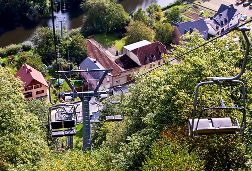
Vianden was a pleasant tourist town overlooked by a huge castle set in forest a couple of hundred metres up the side of the valley. A chairlift extended over the town and up through the pine trees. I've only ever been up chairlifts on skis and snowboards (For a while I was even slightly terrified of them after my first ever ski chairlift ride involved a slightly late exit and a bit more jumping than strictly necessary) so thought I'd try a pedestrian experience. I parked up at the bottom - there were bike carriers but it didn't seem like a good idea with so many panniers.

Chairlift

In the cafe at the top I had a plate of chips and admired the panoramic view over the valley, then went for a short walk through the woods and took a curious peek at the alternative route down - a zipwire traversing back and forth through the trees.

Heading out of Vianden, I picked up some more snacky cakes at the service station, and a packet of spaghetti as an emergency dinner option.

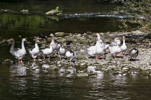
A bit further down the road I found long distance cycle route number 3, which would lead me along the Our river and the German border, all the way to France. The route turned out to be excellent. Sometimes on road, but mostly as a separate lane, and sometimes beside the road, but often leading away from it to peaceful riverside tracks passing under shady trees and past flocks of wading geese. The path often passed right through campsites and the distance to the next town was frequently labelled.

Geese

A few miles before Echternach I found a usable wifi network measuring about two meters square. Taking care to remain in that tiny area, I IM-chatted with dgym for a while - yes, he had been a bit worried. I was starting to enjoy things but still not feeling like spending a month away - we agreed that I should come back after two weeks away.

In Echternach I searched the town centre for cash and toilet paper. Cash was easy to find. Toilet paper was more evasive. I'm pretty sure it should be easy to find in a nation which is unwilling to provide it in public toilets. I left empty handed, having to improvise with paper napkins from cafes. I did, however, manage to find my old friend the Eiscafe, featuring all the favourites - Spaghetti Eis, Pizza Eis, etc, and had a cone of freezy coffee flavoured deliciousness.

Sure

I stopped to camp at Rosport, a small town on the river, just across the bridge from the German town of Ralingen. Not actually wanting buttered spaghetti for dinner (so far that day I'd eaten chips, ice cream and biscuits) I set off in search of nice food.

An Asian restaurant in the town looked good - menu outside, opened at 6... except when I tried to go in there at 6:30, the door wouldn't open. Then I noticed the cobwebs around the door, the yellowed newspapers stuffed in the letterbox around the side and the hole in one of the windows. It didn't look as if anybody had been in there for quite a while. Perhaps I didn't want to eat there after all.... There was nothing else suitable in the town so I crossed to the German side and found an open restaurant serving lovely big schnitzel, chips and salad.

Distance: 42 miles (302 miles so far) • Day 7 Route • Day 7 Photos