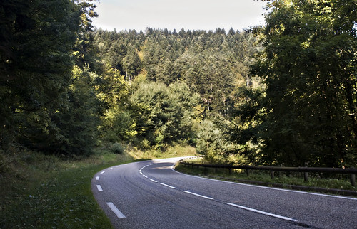
I had been studying the map and come up with a nice wiggly green (i.e. scenic) route along a foresty road through the Vosges mountains, via Dabo.
The road was flat at first then started to gently climb, with signs towards the Plan Incline. This is one of those things I didn't really understand at the time but now that I've got back and done a bit of reading, sounds quite interesting and makes me wish I'd stopped off to take a closer look. The Saint-Louis-Arzviller Inclined Plane is a clever lifting mechanism for getting ships up the mountain canal route as a quicker alternative to multiple locks.
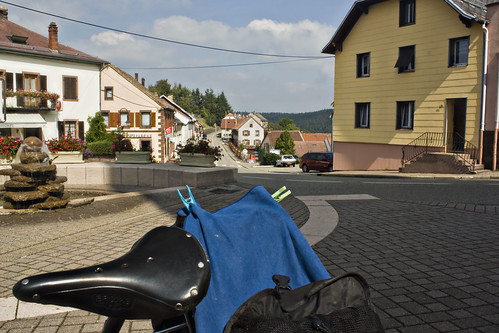
After a long hot climb, I reached the town of Dabo. The sun was high in the sky and it was getting a little hot for comfort so I stopped in the shady town square, placing the solar panel in a patch of sun - despite all the sunshine, it still wasn't gathering enough energy to keep my phone going. A group of Canadian cyclists on lovely lightweight racing bikes stopped to say hello - they were staying nearby and enjoying the sunshine on the last day of their holiday.
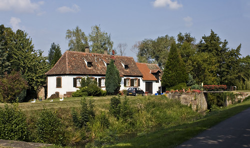
Further climbing out of Dabo led me up the Col de Valsberg to La Hoube then over the departement border and onto a lovely long descent down into Alsace. At Romanswiller I picked up a cycle path which ran along a disused railway line and a canal.
I passed several other cyclists and walkers, and the signposting was quite good until I reached Molsheim and it disappeared. Motorways and major roads met just south of Molsheim and I couldn't pick out a good route on the map to get past all that. A local cyclist stopped to offer help and invited me to follow him through a maze of back streets, eventually leading to a bridge over the motorway and back out into the countryside. I thanked him and he left me on tiny lanes among cornfields, the cycle route to Obernai now clearly signposted. I gathered some speed and then, not really looking where I was going, hit a rather steep speed bump at 20mph, jarring my arms quite badly - which hurt, but no real damage.
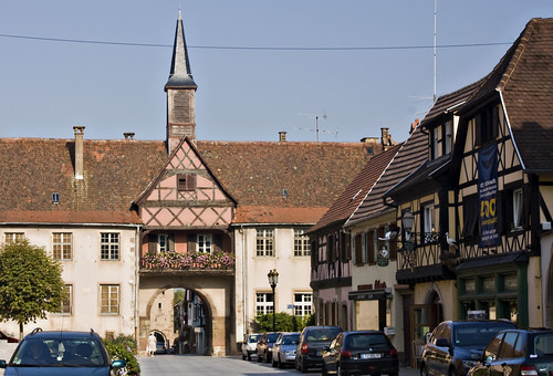
I lost the cycle route briefly in the pretty town of Rosheim but the tourist office put me back on track.
After that the road surface got very bad at Bischoffsheim but I finally reached Obernai, where the campsite was very well signposted and thankfully selling cold drinks and ice lollies (something that had become more appealing over the last few days than lunchtime hot chocolates). More importantly, a Chinese restaurant was just down the road and I was able to tuck into hot, greasy delicious chicken chow mein for dinner. Yum...
Distance: 45 miles (468 miles so far) • Day 10 Route • Day 10 Photos
No comments:
Post a Comment