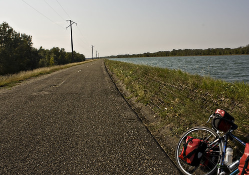
I found a well signposted cycle route alongside the Rhone-Rhine canal which led me towards the Rhine river, past a hydro electric power station and into a nature reserve on a narrow island in the middle of the river. There was nobody else on the path, which was closed to motor traffic - just me, the river and the sunshine.
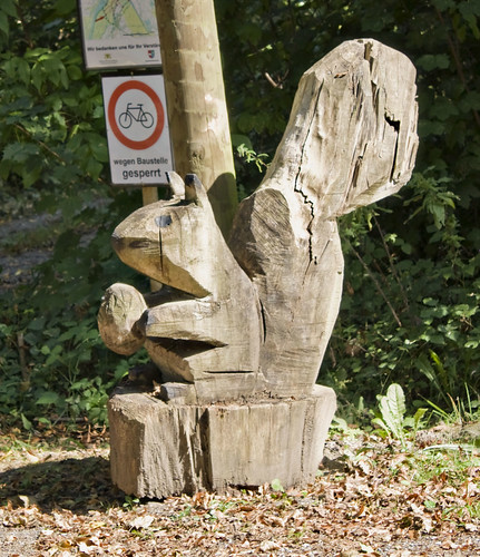
I emerged into Germany and followed signs to the small town of Weisweil. Wooden statues and carvings lined the road - squirrels, rabbits, apples...
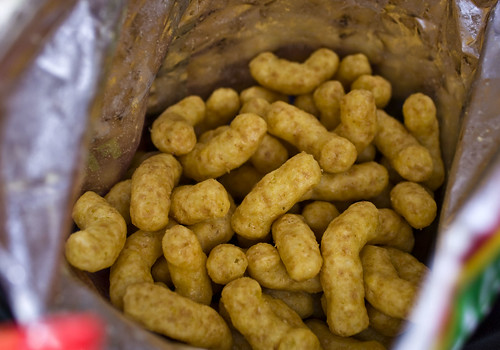
I'd been making excellent progress that morning but hadn't found lunch yet and was getting hungry. I tried to find somewhere to eat in Kenzingen but everywhere seemed closed or deserted. Lidl saved the day and I picked up some German camembert, more kiwis, a yoghurt and a bag of crisps. I found a picnic spot just outside Emmendingen and discovered that the crisps tasted exactly like peanut butter.
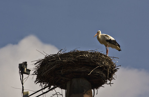
More canals led me to Denzingen where the town stork was nesting on the church roof.
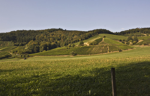
The Black Forest was close now. The cycle route signage had been excellent all day but I was expecting it to disappear as soon as the serious hills started. It didn't seem like it'd be worth anybody's while to provide dedicated cycle facilities in the mountains. Surely not enough people would want to ride there? It turned out I was quite wrong.
I left Denzingen and continued to follow the signs (or so I thought) along the road and onto some narrow paths. The paths started to twist quite steeply up the hill. I saw no more cycle route signs. Pedestrians and horse riders passed me, but no cyclists. I arrived at a junction, giving me the choice between a sandy stony track going straight on or a more paved route twisting around to the left. I stopped, unable to figure out where I was until I flagged down a car and asked in my best shaky German whether I was going the right way for Glottertal. The driver seemed to say yes so I carried on up the track. It got steeper and I got off to push until I reached a lookout overlooking the fields below. A mountain biker had stopped there for a rest and offered routing advice when he noticed my bike. Apparently the path I was on was about to turn into technical single track. I'd taken a wrong turn, something my instinct had been trying to tell me for the last twenty minutes. He pointed out the road below and once I got back down the hill I picked up the cycle route again easily and reached Glottertal.
Now I started to worry about accommodation - it was Saturday again. There was a campsite further up (in the vertical sense) but I felt happy to stop in Glottertal and get a room. I found a pension with a "zimmer frei" but they only had a triple room - the owner tried calling around some other places but all were full. So I carried on to the campsite, which was 10km away but about 400m up. The cycle route signs warned of a 6% gradient - certainly nothing I can't handle.
And so I found a good rhythm and kept pedaling. The sun was on its way down, casting long light onto the hills. I grinned at cyclists flying past in the opposite direction - envious but wanting to share in their sheer joy.
I reached the campsite before sunset and ate at the campsite restaurant which was fantastic. Noodle soup and salad, followed by a mushroom pancake which was literally just a pile of mushrooms upon a folded pancake but the mushrooms were so well cooked and full of flavour. I could have quite happily ordered a black forest gateau for dessert (in fact I'd been thinking about it all day) but the waitress misunderstood my gesturing and brought me the bill instead of the dessert menu :-(
Distance: 60 miles (528 miles so far) • Day 12 Route • Day 12 Photos
No comments:
Post a Comment