Fortunately the weather smiled upon us as we arrived at Hook of Holland and I cycled off into a beautiful sunny morning, which cast the industrial lands around Rotterdam in a far more flattering light than the last time I visited.
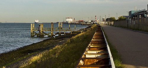
It was good to be back on Dutch cycle paths and the signposts guided me easily along the waterfront past wind turbines, docks and factories. Before long I was feeling thoroughly spoiled to have such lovely paths to ride on. Having right of way when crossing side roads, not having the path come to an abrupt end half way along a busy trunk road... those are things that I could quite happily get used to, but had better not - the UK is a long way off from this.
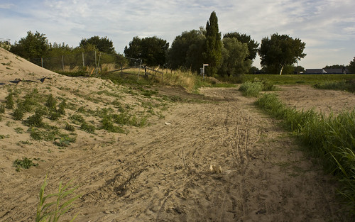
Dutch cycle paths aren't perfect of course - on our previous trip we got lost quite a lot and often encountered some quite bumpy surfaces. The roads and cycle paths were being dug up in Vlaardingen, and with no sign of any diversion being signposted it came down to common sense and a compass (And a bit of Google maps). Just before I reached Rotterdam, the path turned into a huge sandpit, forcing me to get off and push for a couple of hundred metres.
Just before Dordrecht I had to cross the Oude Maas river, which at that point is spanned by lifting road and rail bridges. The bridges were opening to let boats through when I arrived. The road bridge lifted Tower Bridge style, whereas the rail section was a vertical lift bridge, and it was quite remarkable to watch the two operating side by side. (Photos of the rail bridge under construction)
It had been raining lightly since mid-morning and I stopped in Dordrecht for some shelter and a cheesy pancake. I popped into a book shop to consider getting some proper maps of the cycle paths but at 8 euros each and not covering a huge area, it seemed a bit expensive so I didn't. (I was carrying the same two maps we used in 2006 - a Michelin 1:400K that shows no cycle routes at all, and a fairly useless Benelux cycle map, which shows only the major LF routes and large towns and cities). The afternoon might have gone a little better if I'd made that investment.
More water stood in my way after Dordrecht, this time crossed by ferry. I stopped and chatted to a couple of truck drivers while waiting for the boat, one of them kindly offered to take my photo.
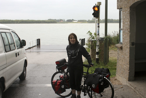
See? It had definitely turned into a bit of a damp day.
The ferry took me into the national park of the Biesbosch, a lovely peaceful area with very few houses and a mixture of woodland, farmland and lakes. I saw herons, and discovered that 300 geese taking flight all at once make the most awesome noise.
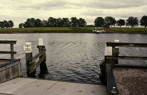
The dedicated bike path came to an abrupt stop by the river at Pontje Steur. There was a bell on my side of the river and the world's tiniest ferry was on the other. The ferryman came out of his little hut, waved to indicate he had seen me, and set out across the 40-50m of water that separated us. The ferry was only a couple of metres wide, just enough to take a couple of bicycles or a few people.
It got sunny again towards the end of the day but I got very lost trying to get out of the Biesbosch park - my lack of decent map was not helping, nor were my efforts to follow the LF12 cycle route, which was not exactly direct, and as evening approached I started to need direct.
Eventually I found a little board showing cycle routes, and discovered that I had made little progress and was in danger of going round in circles. It was good to see a map and get my bearings back and I soon reached a small town called Hank on the edge of the park, with a campsite nearby.
No comments:
Post a Comment